QGIS is a powerful, free & open-source GIS software. Similar to ArcGIS & MapInfo, it offers extensive features for spatial data analysis & visualization.
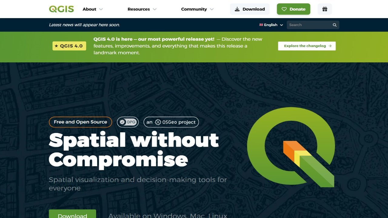
QGIS is a powerful, open-source Geographic Information System (GIS) available on Linux, Windows, macOS, and Unix. Licensed under the GNU General Public License, it supports various vector, raster, and database formats like ESRI shapefiles, PostGIS, GRASS, and GeoTiff for browsing, editing, and creating spatial data. Users can develop custom plugins using Python or C++ to extend functionality, including importing delimited text data, downloading GPS tracks, visualizing OGC WMS/WFS layers, and printing maps with the Print Composer. QGIS provides a comprehensive platform for GIS professionals and enthusiasts alike.