Discover 2GIS, the comprehensive online directory with 3D maps of over 180 cities, millions of business contacts & route planning for cars & public transport.
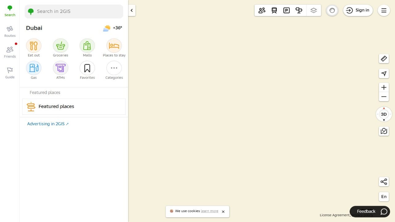
2GIS offers a comprehensive and up-to-date directory for over 180 cities, featuring detailed maps, contact information for 1.5 million businesses, including restaurants, hotels, and other establishments, along with verified details like photos and reviews. The platform provides offline access to 3D city maps with high-resolution imagery, including driveways and fences, as well as navigation tools for both car routes and public transport, incorporating metro information. Users can easily search for businesses, find addresses, phone numbers, and operating hours, while also accessing detailed transportation networks within the city.