Discover Magic Earth: Offline maps for 233 regions with OpenStreetMap data. Driving, biking & hiking routes. Real-time traffic & transit info. Get it now!
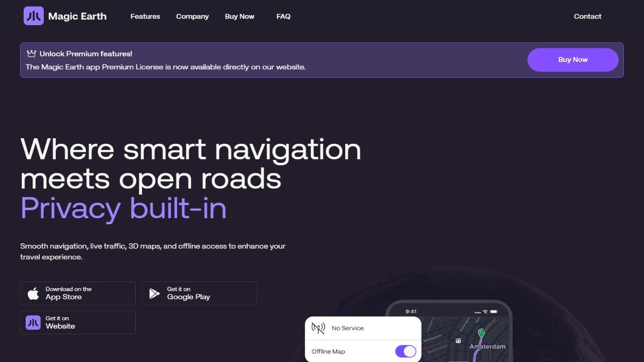
Magic Earth is an offline navigation application that leverages OpenStreetMap data for driving, biking, hiking, and public transit users. It provides detailed route information, including surface type, distance, elevation, points of interest, and parking spots, across 233 countries and regions with options for 2D, 3D, and satellite map views. Users can select the fastest or shortest routes, manage multiple waypoints, and utilize a free Head-up Display (HUD) feature with turn-by-turn navigation and lane assistance. Furthermore, Magic Earth offers real-time traffic information, alternative routes to avoid congestion, and comprehensive public transportation details including transit route maps, walking directions, transfer times, departure times, stop counts, costs, and accessibility options. The software prioritizes user privacy by not collecting personal data.